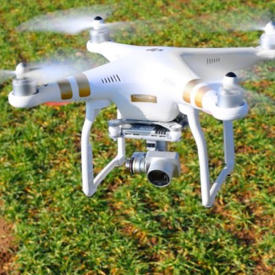
Drone agro service
by Zuhidi's Cepat Tindak Solution SKU
Brand: No Brand
Last update: Jun 06, 2022
| Wholesale Price Available | |
|---|---|
| Buy 100 or more each | |
| MYR 40.00 each | |
| Guide |
|---|
| 1 each : 1 Unit |
|
|
Many farmers already use satellite imagery to monitor crop growth, density, and colouration, but accessing satellite data is costly and not as effective in many cases as closer drone imaging.
But Using Drones to your plantations will help improve the land usage, plant count, soil quality, plant health etc very quickly and at cheap price. Because drones fly close to fields, cloud cover and poor light conditions matter less than when using satellite imaging. Satellite imaging may offer to the meter accuracy, but drone imaging is capable of producing accurate image
Questions & Answers (0)
Delivery Information
Standard Delivery
5-7 working days